Who Owns the Ocean? Kenya's bold plan to divide the Sea before conflicts explode

03, Jun 2026 / 5 min read/ By Anthony Makokha

The waters off Kenya's coast have long appeared limitless. To the casual observer, the Indian Ocean is an open blue expanse where fishermen, cargo ships, tourists, conservationists and investors can coexist without conflict.

But beneath the surface, a silent battle for space is intensifying.

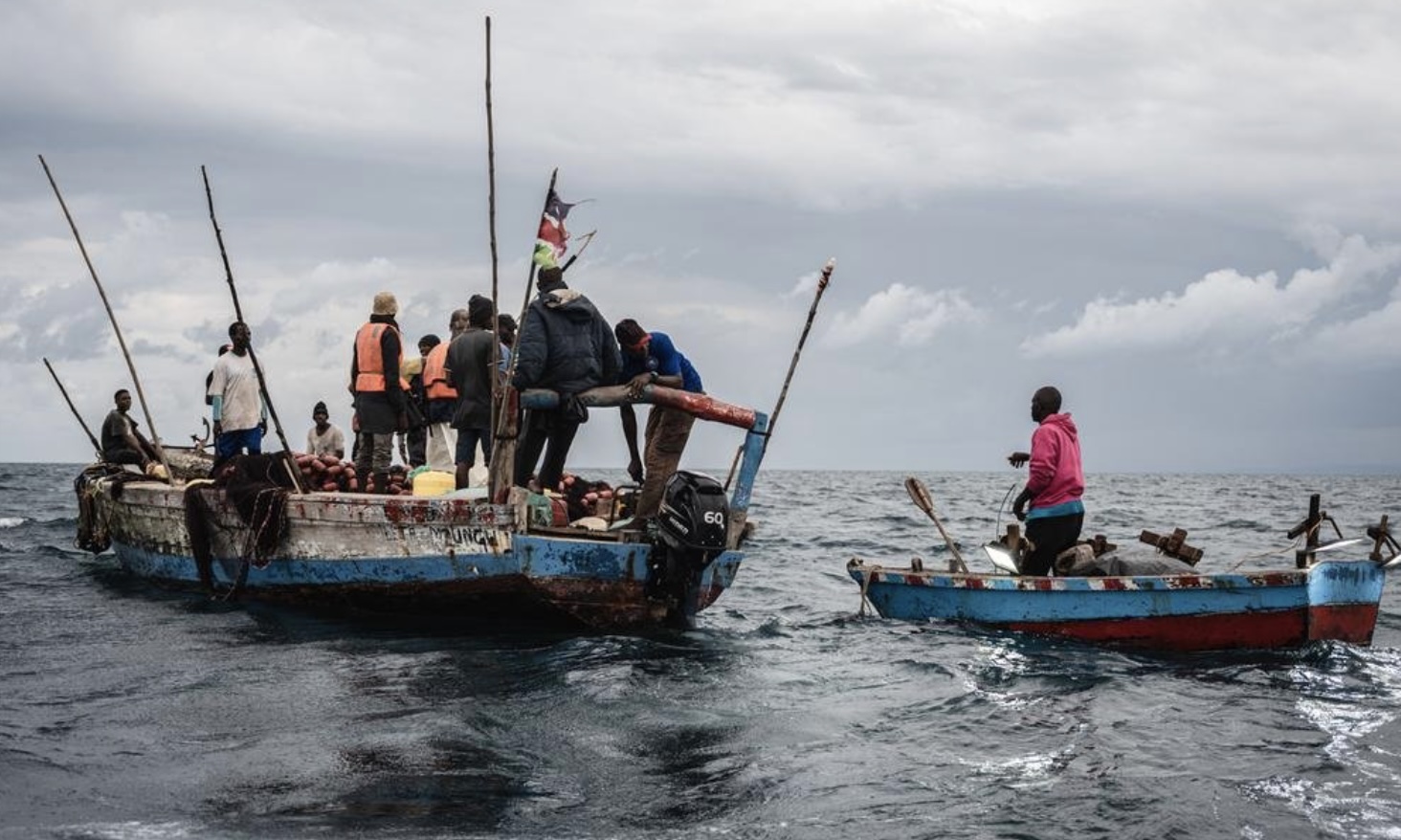
Artisanal fishers are competing with industrial developments. Conservation zones overlap with traditional fishing grounds. Shipping corridors intersect with local transport routes. Tourism operators seek pristine beaches while coastal communities fight to preserve access to the same shoreline.

As Kenya accelerates its Blue Economy agenda, these competing interests are converging in a finite marine space stretching from Kwale in the south to Lamu in the north.

Now, the government is attempting something few African countries have achieved: creating a comprehensive Marine Spatial Plan (MSP) to organize, regulate and safeguard the use of its ocean territory through to 2045.

The draft plan, currently undergoing stakeholder validation, seeks to answer a deceptively simple question:

Who gets to use the ocean, where, and under what conditions?

The answer could shape the future of Kenya's coast for generations.

A crowded ocean

For decades, Kenya's ocean resources have been managed largely through sector-specific regulations. Fisheries authorities focused on fish stocks. Tourism agencies concentrated on beaches and resorts. Environmental agencies protected marine parks. Port authorities expanded shipping infrastructure.

Each sector largely operated within its own mandate.

What was missing was a framework that viewed the ocean as a shared space where one activity inevitably affects another.

The Marine Spatial Plan seeks to change that.

The draft framework identifies distinct zones for fishing, tourism, conservation, maritime transport, aquaculture, infrastructure development and other economic activities while establishing rules to manage overlaps and conflicts. Stakeholder concerns collected across all coastal counties have directly influenced the proposed zoning framework.

Officials involved in the process describe the plan as a blueprint for balancing environmental protection, economic growth and community livelihoods.

Its architects argue that without a coordinated system, competition for marine resources will intensify as population growth, climate change and investment pressures increase.

The fishermen's fear

Among the most vocal participants during stakeholder consultations were artisanal fishers and Beach Management Units (BMUs).

Across coastal counties, fishers repeatedly expressed concerns about losing access to traditional fishing grounds due to tourism developments, conservation initiatives, shipping activities and port expansion projects.

For many communities, fishing is more than an occupation.

It is culture, identity and survival.

A reduction in fishing grounds can translate directly into lower incomes, reduced food security and heightened poverty.

Recognizing these concerns, the draft plan proposes retaining community-use layers and refining artisanal fishing zones, landing-site nodes and access corridors. The objective is to ensure that traditional fishing communities are not pushed aside by more powerful economic interests.

The issue touches on a broader challenge confronting coastal nations worldwide: how to pursue ocean-based economic growth without marginalizing the people who have depended on marine resources for generations.

The rise of the Blue Economy

Kenya has increasingly positioned the Blue Economy as a pillar of national development.

The sector encompasses fisheries, tourism, shipping, marine transport, aquaculture, renewable energy, seabed resources and coastal infrastructure.

Supporters see enormous untapped potential.

New investments could create jobs, attract foreign capital and contribute significantly to economic growth.

Yet every new opportunity creates pressure on existing users.

Stakeholders participating in the MSP process called for greater investment certainty while simultaneously demanding stronger safeguards for biodiversity, fisheries and community interests. The draft plan attempts to address both concerns through zoning and compatibility screening mechanisms that indicate where activities are permitted, restricted or conditional.

This balancing act lies at the heart of marine spatial planning.

Too much regulation could discourage investment.

Too little regulation could accelerate environmental degradation and social conflict.

Protecting nature's infrastructure

One of the most strongly supported themes during consultations was biodiversity conservation.

Stakeholders consistently emphasized the importance of protecting coral reefs, seagrass beds, mangroves, mudflats, turtle nesting beaches, marine mammals and other sensitive habitats.

Scientists warn that these ecosystems provide services worth billions of shillings annually.

Mangroves stabilize coastlines and absorb carbon.

Coral reefs support fisheries and tourism.

Seagrass meadows serve as nurseries for commercially important fish species.

The draft MSP treats these ecosystems as ecological constraints and conservation priorities, proposing protection zones, restoration areas and ecological buffers.

The challenge will be enforcing these protections while allowing economic activity to continue.

Shipping lanes and fishing nets

Few examples illustrate competing ocean interests better than shipping.

Kenya's maritime sector continues to expand, driven largely by the strategic importance of the Port of Mombasa and growing regional trade.

Stakeholders supported the protection of shipping lanes, anchorage areas and navigational corridors while also emphasizing the need to minimize conflicts with fishing and tourism activities.

The MSP proposes maintaining shipping corridors while establishing safety buffers and compatibility rules where maritime routes intersect with community uses.

In practical terms, this means recognizing that commercial vessels, artisanal fishers and tourism operators all depend on the same ocean space.

Without clear planning, conflicts are inevitable.

Climate change changes everything

Hovering over all discussions is climate change.

Stakeholders identified sea-level rise, coastal erosion, saltwater intrusion, flooding and storm surges as growing threats to both communities and infrastructure.

Climate impacts are already visible across Kenya's coastline.

Eroding beaches threaten tourism assets.

Saltwater intrusion affects freshwater supplies.

Extreme weather events place increasing pressure on coastal settlements.

The MSP incorporates climate-risk screening, resilient infrastructure principles and ecosystem-based adaptation measures into its planning framework.

This reflects a growing recognition that ocean governance can no longer be separated from climate resilience.

A question of governance

Perhaps the most significant challenge facing the plan is not scientific but political.

Multiple agencies share responsibility for Kenya's marine environment.

National ministries, county governments, conservation agencies, fisheries authorities, maritime regulators and security institutions all exercise overlapping mandates.

Stakeholders repeatedly called for greater clarity regarding institutional roles and decision-making responsibilities.

The MSP seeks to address this through a decision-status and responsibility framework designed to improve coordination and reduce regulatory confusion.

Whether these reforms succeed will depend largely on implementation.

A well-designed plan means little if institutions fail to cooperate.

The future of Kenya's ocean

The validation workshop in Kilifi marked one of the final stages before the draft Marine Spatial Plan proceeds toward public review and eventual adoption.

What emerged from the discussions was remarkable.

Despite representing diverse and sometimes competing interests, most stakeholders agreed on one fundamental principle: the status quo is no longer sustainable.

Kenya's ocean is becoming increasingly crowded.

The decisions made today will determine whether future generations inherit thriving fisheries, healthy ecosystems and prosperous coastal economies or escalating conflicts over dwindling marine resources.

Marine Spatial Planning may not solve every problem facing Kenya's coast.

But by bringing competing interests to the same table and forcing difficult conversations about priorities, trade-offs and shared responsibilities, it offers something that has long been missing.

A map for the future.

And perhaps, a way to ensure that the ocean belongs not to one sector, one industry or one institution, but to all Kenyans.

Tags